All projects
Project 05 — Surveying & 3D Capture
From field
From field
to model.
Real places, digitized to the millimetre: terrain, rooms and structures become a precise 3D foundation through surveying, laser scanning and photogrammetry.
ScopeSurveying · Laser scanning · Photogrammetry
ToolsGNSS · Drone · Rhino
FieldTerrain & structure
Surveying runs in two directions: depending on whether reality comes first or the plan.
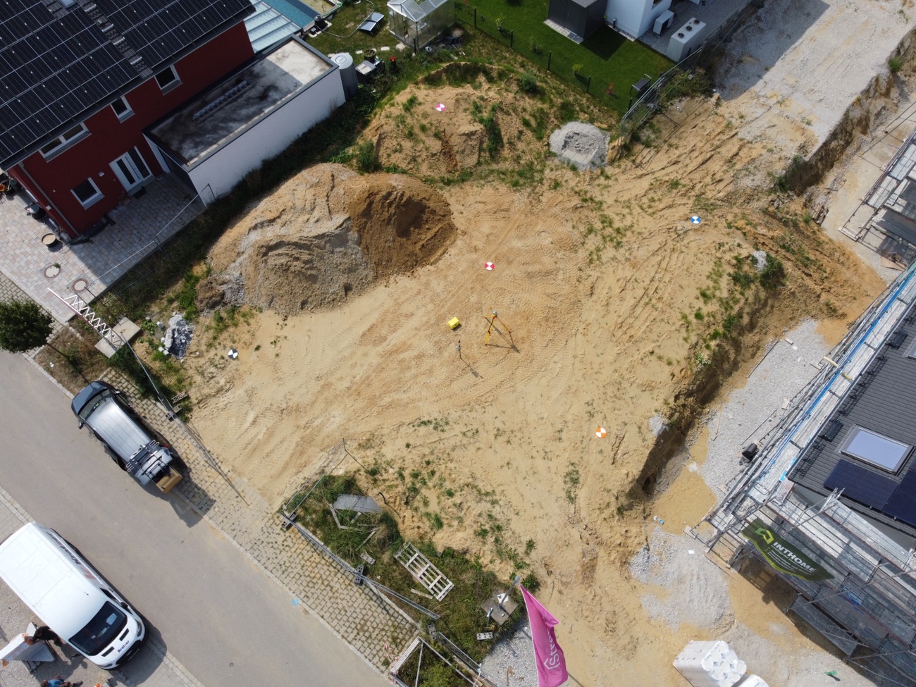
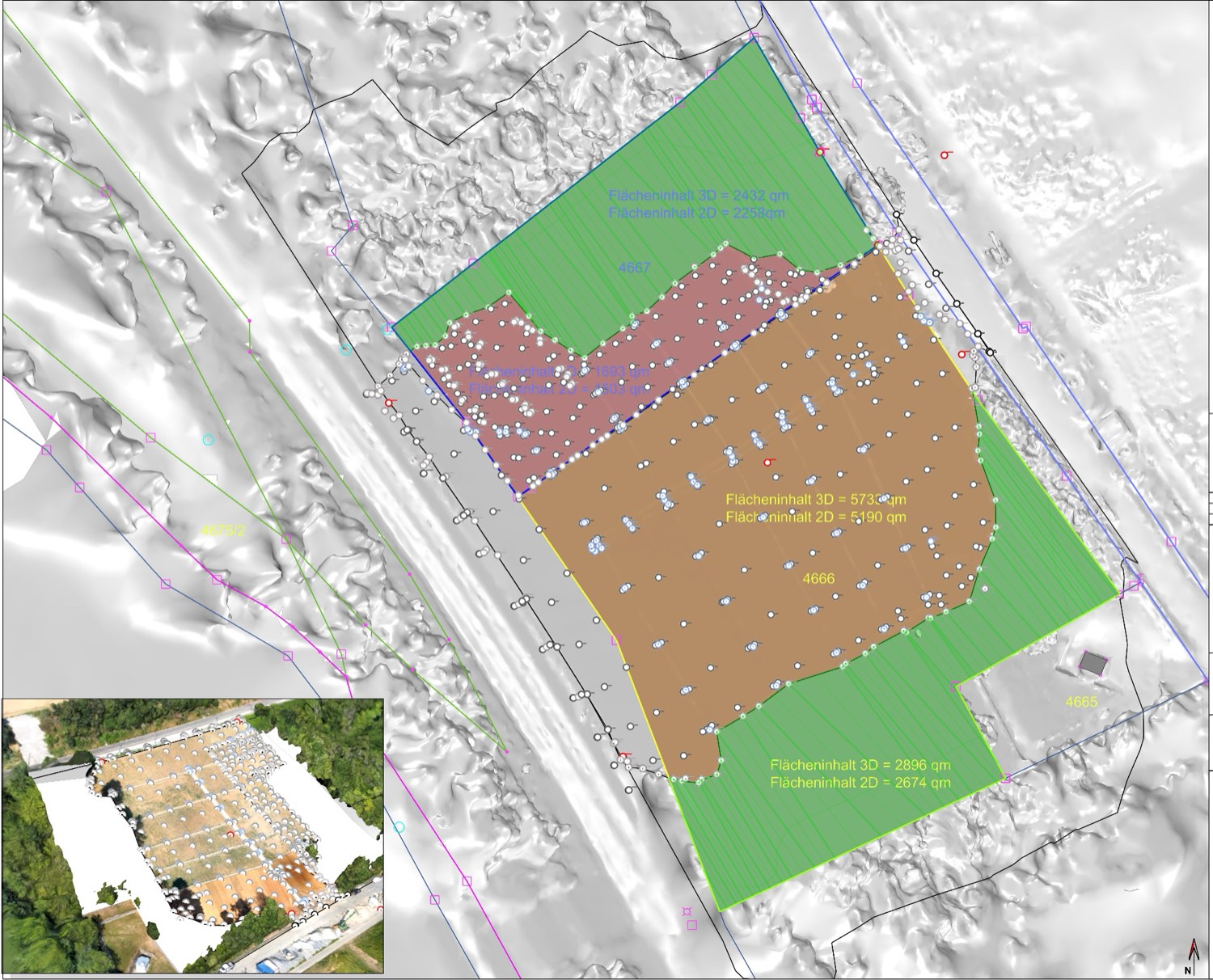
Surveying — from reality to digital
With GNSS surveying, laser scanning and photogrammetry, terrain, building or component turns into a true-to-scale 3D model: a verifiable foundation for planning, visualization and fabrication, from the first capture to the handover-ready as-built plan.
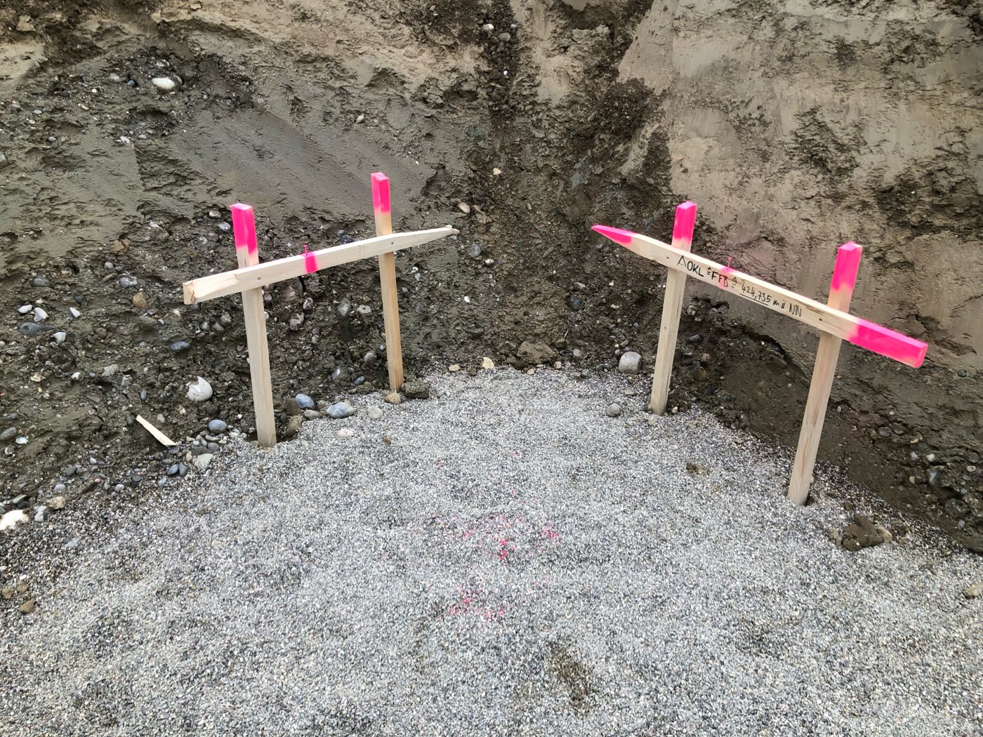
Setting out — from digital to reality
Sometimes the plan comes first. Then the field work determines where the planned points sit: building corners, axes, heights. Setting out transfers the digital plan back into reality point by point.